2019 South Pole field season
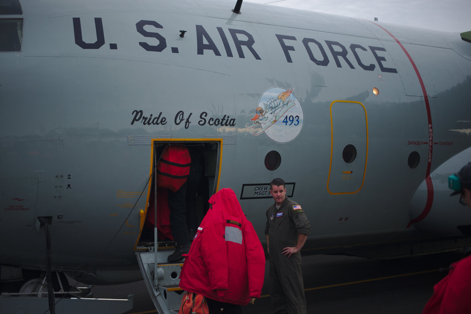
In December, I headed to the South Pole for a third field season, wrapping our survey of regional ice flow. Like last year, this was a very quick season with only about two weeks at the Pole. As in previous years, the field season was timed to span the solstice so as to get the warmest weather at the South Pole (~-10 F this year). We left for New Zealand week after Thanksgiving, and after getting our cold weather gear we started trying to fly to Antarctica on December 13th. At first, we were trying to fly on a “Kiwi Herc”, a C-130 belonging to the Royal New Zealand Air Force that has wheels and no skis. On the first day, we flew 5 hours before turning around due to changing weather in McMurdo and flying the 5 hours back to Christchurch; these turnaround flights are not altogether uncommon and are called “boomerangs”. The next day we got on the plane had not even started taxiing when they decided the weather was too bad and the flight was cancelled. The next day we boomeranged once again, arriving back in Christchurch at about midnight after over ten hours in the air. At that point the Kiwi Herc surrendered to the elements and went back to its sunny home. We had a day off from flying, which was a relief, then attempted the Southern Ocean crossing once more on an American LC-130 (the L means it is ski equipped and consequently has much greater flexibility in landing in Antarctica). After nervously counting down the time/guessing when we reached the point of safe return, after which we would no longer have fuel to return to New Zealand and knew we would make it to McMurdo, hope gradually started to build. Soon, we were pretty thrilled to see the Transantarctic mountains appearing out of the few windows.
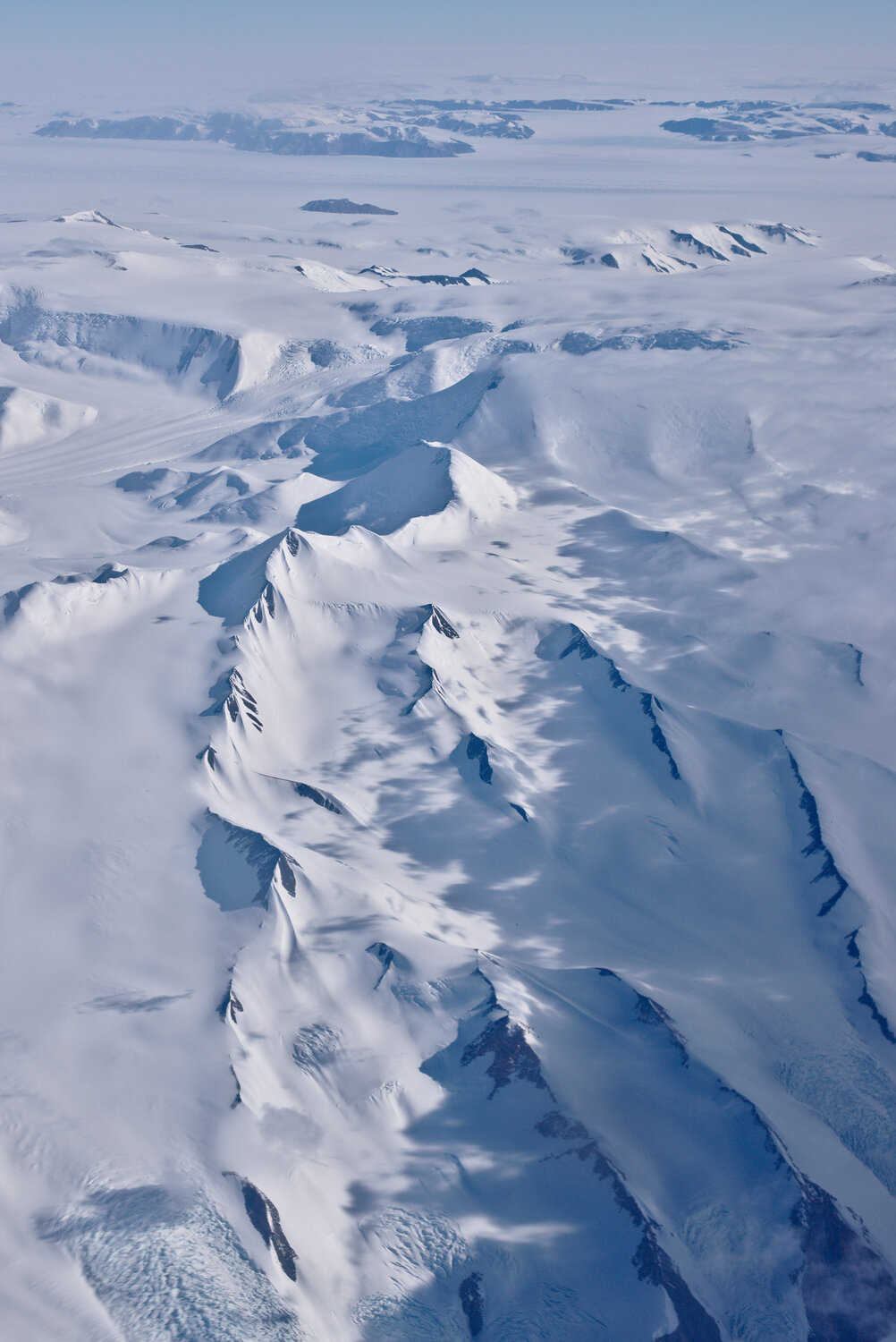
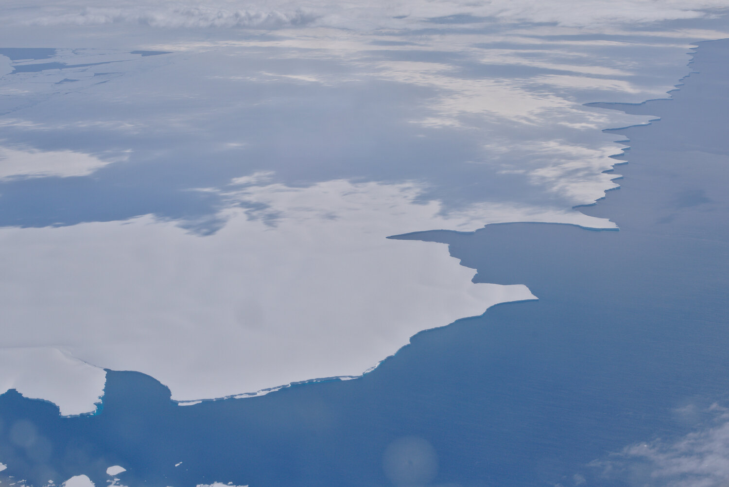
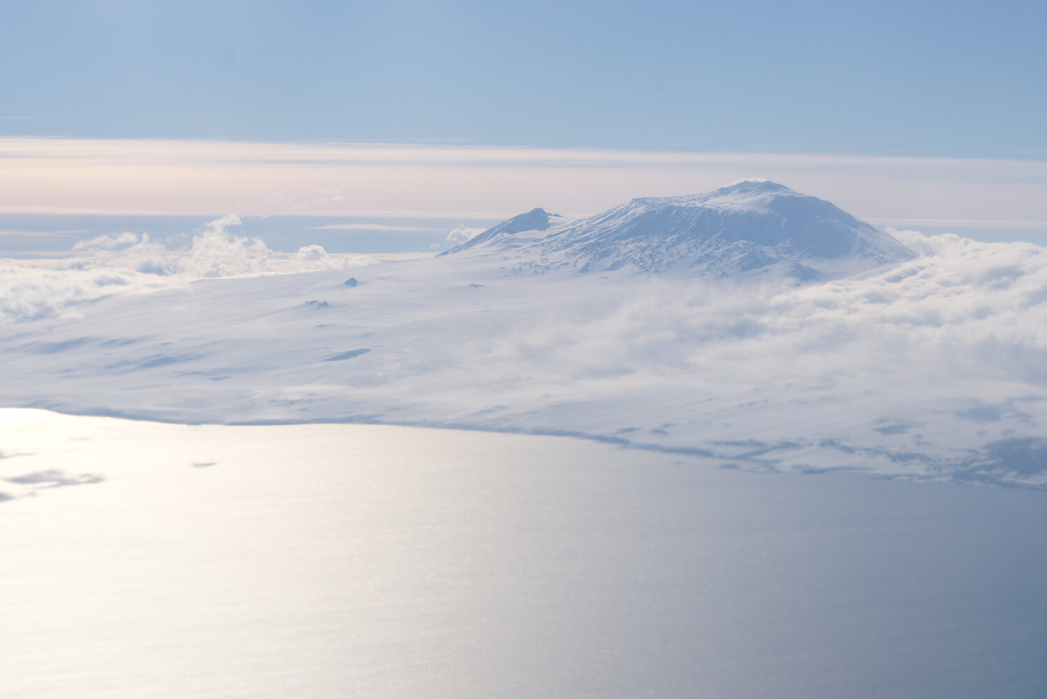
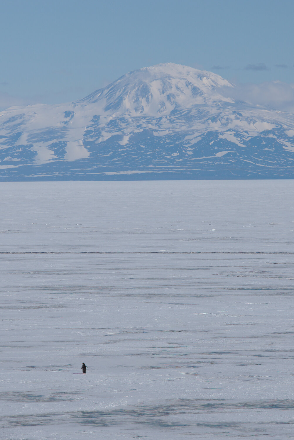
Getting to Antarctica is always exciting, but the two boomerangs made the arrival quite a relief. The view from the Willy Field skiway is truly stunning; on a clear day you can see the volcanoes on Ross Island, multiple islands sticking up from the McMurdo ice shelf, and number of ranges in the Transantarctic mountains. The views started as soon as the back of the plane opened for cargo unloading, with Mt. Erebus nicely framed out the cargo door. The volcano was topped with a very flat lenticular cloud that fully encircled the summit, almost looking like a flying saucer. Mt. Rainier often gets lenticulars as well, so the sight of a one above a volcano is not exactly foreign, but the scale of Mt. Erebus rising up 12,000 ft from sea level makes any view of it impressive. Once out of the plane, I spent the ride in to town with my face plastered to the window staring at the mountains and wishing there were penguins around.

So that crews have some time off, flights start to get sparse between Christmas and New Years. We knew we needed to be efficient to make it to Pole and avoid risking a long delay in McMurdo over the holidays. Luckily, we quickly made it through the required trainings in McMurdo, and after a few days were ready to head on to the South Pole. That flight went more smoothly, and we made it to the Pole on the 22nd and started to acclimatize.
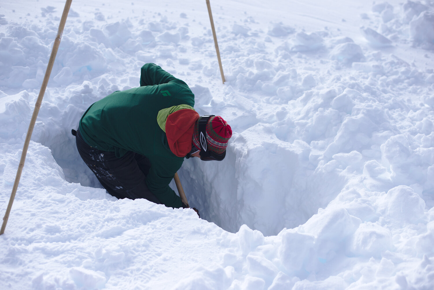
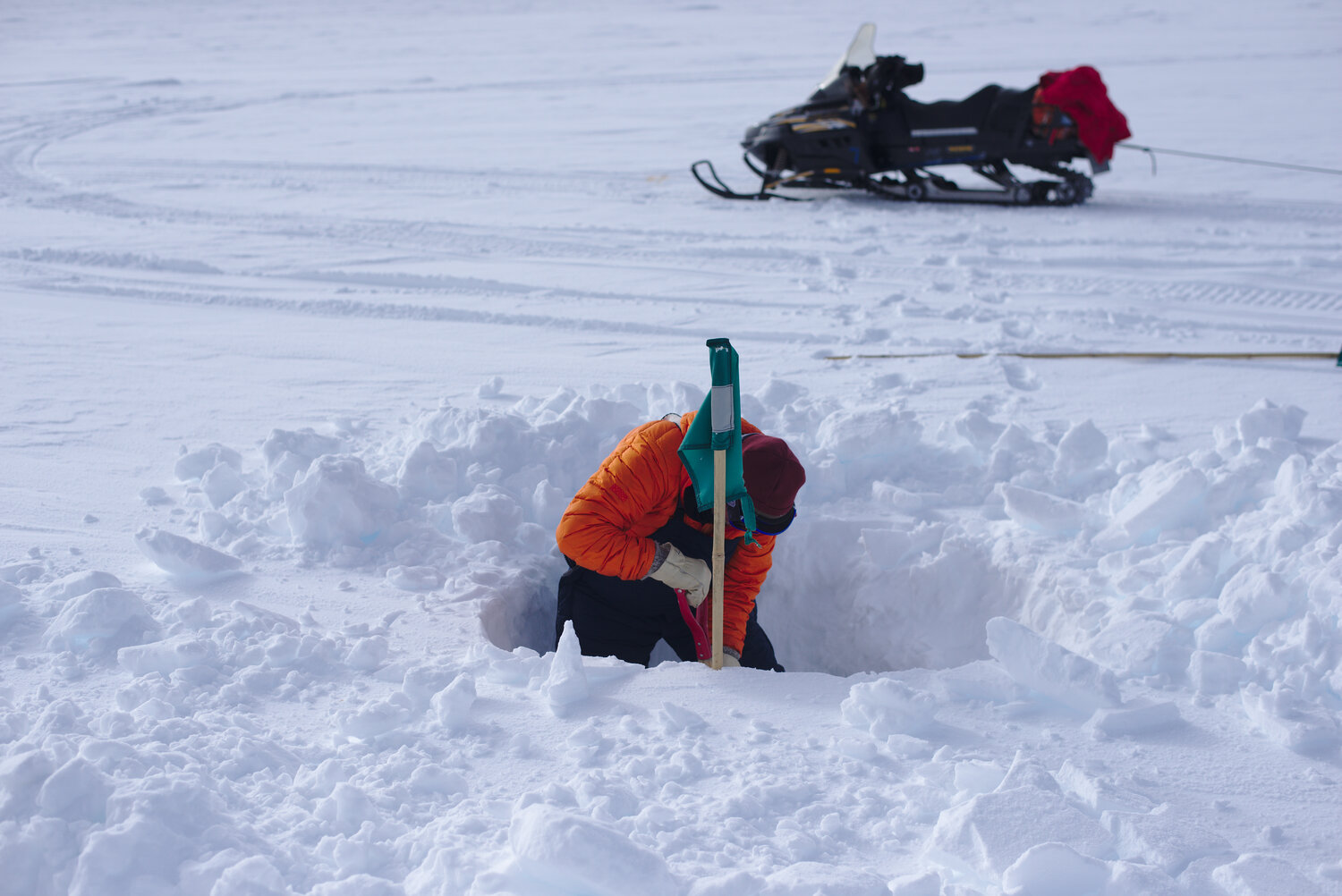
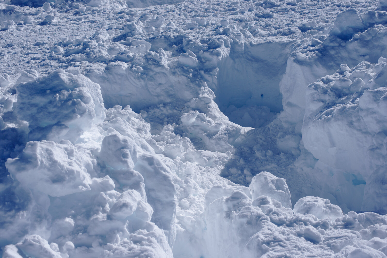
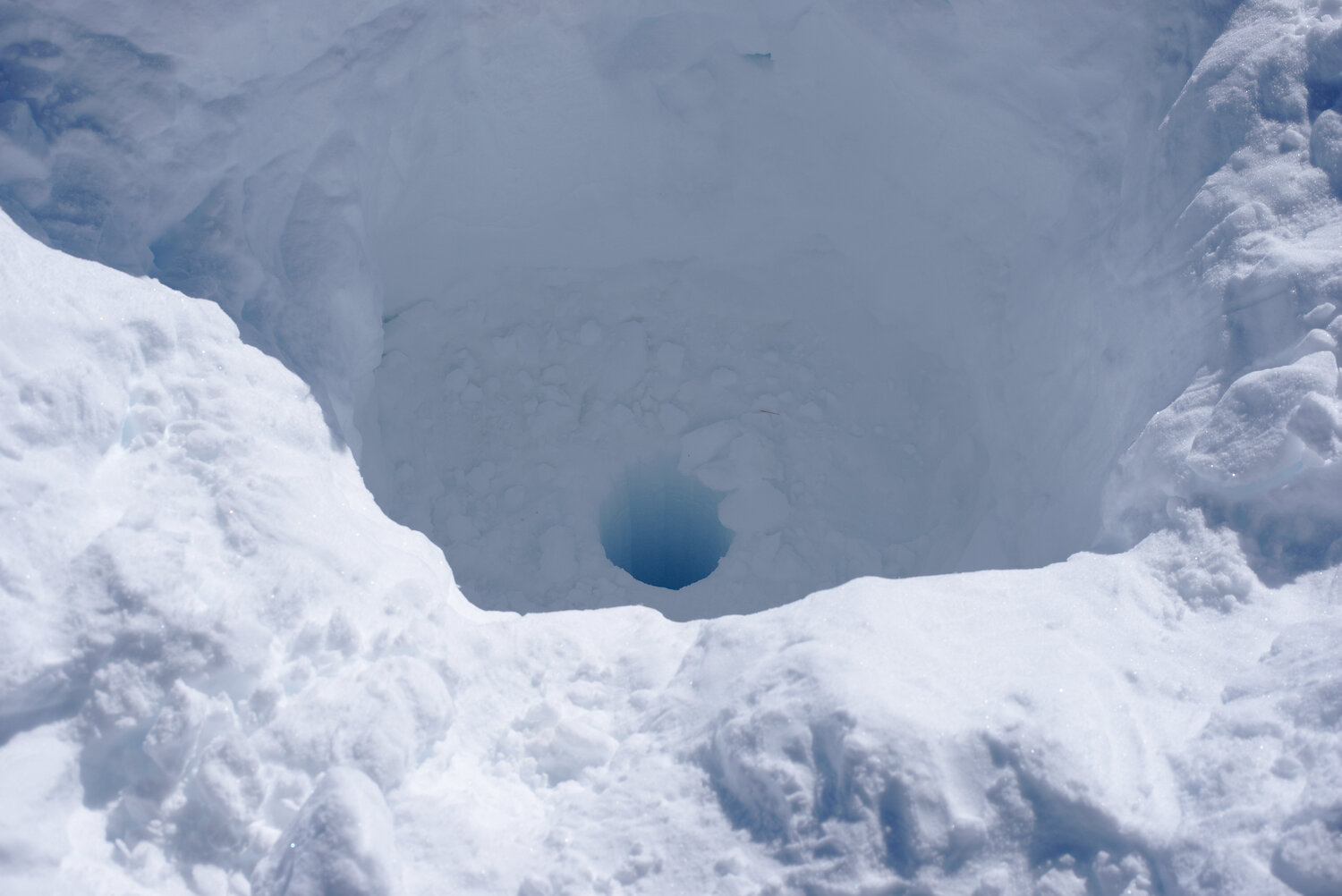
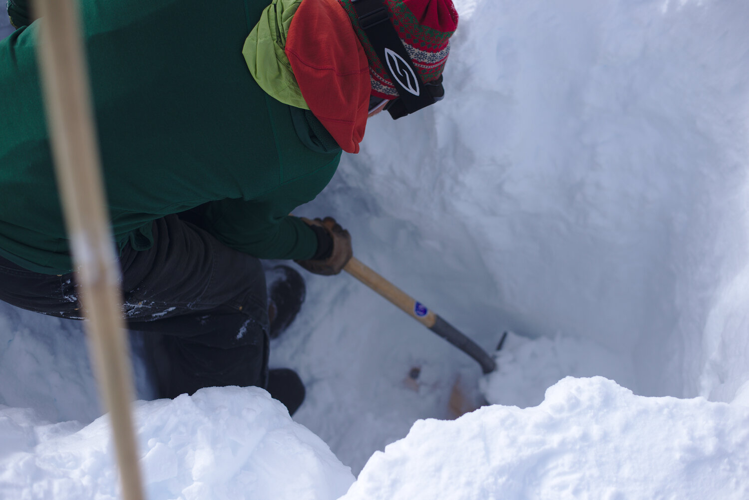
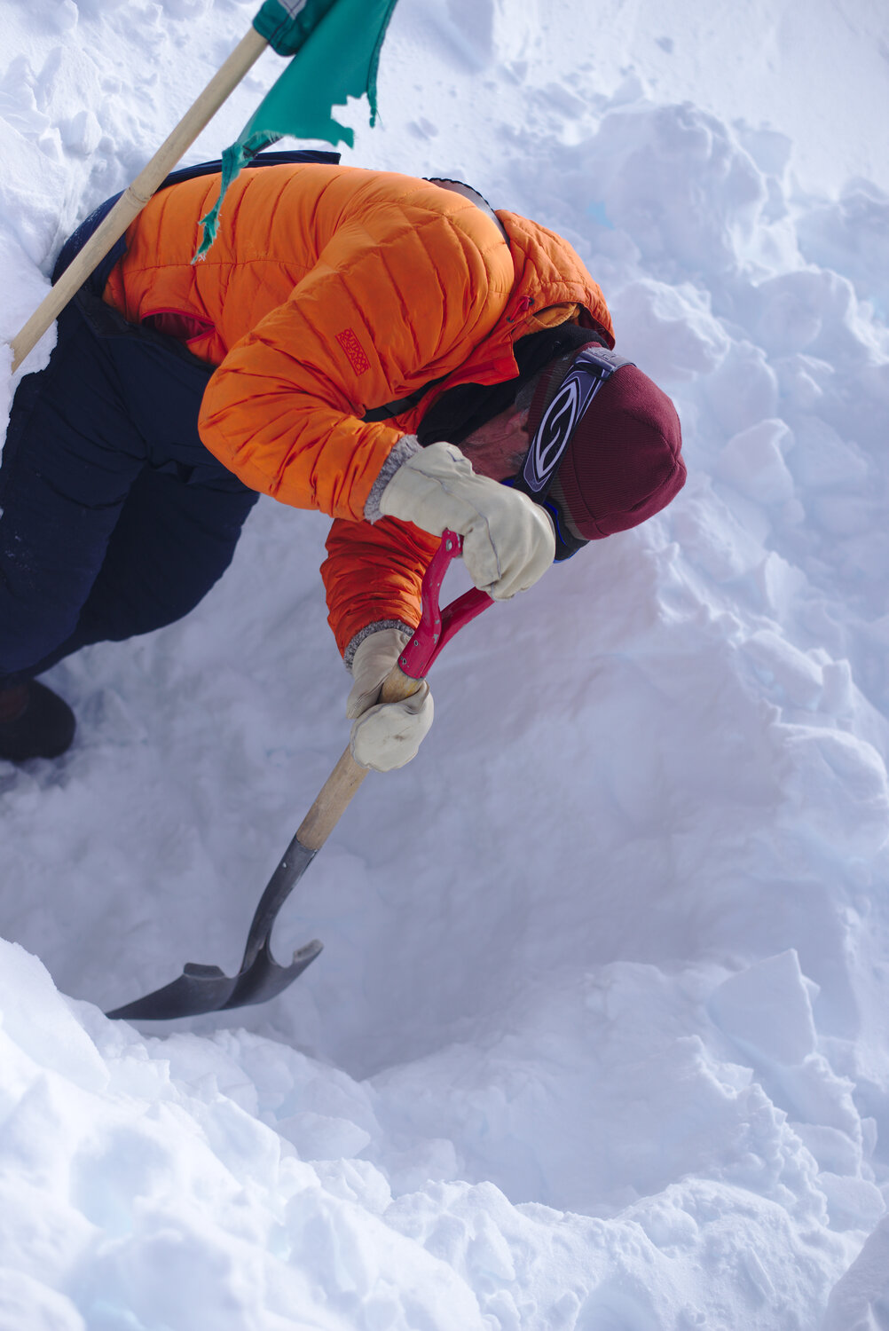
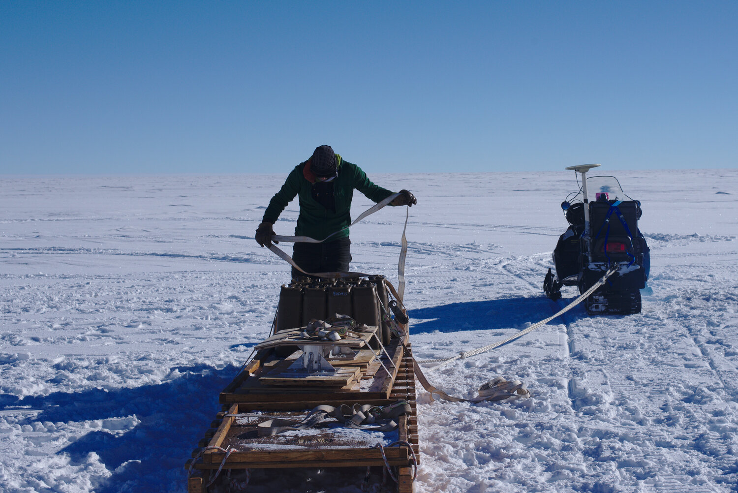
The first order of business was to remove Max’s firn compaction instruments that had spent two winters near the Pole. Firn is nominally the transition stage between snow and ice, that is to say it is just old snow that has not yet had enough other snow piled on top of it to be compressed into ice. The firn instruments all sat atop boreholes measuring the distance from themselves to the bottom of the hole. As the snow settled/the firn compacted, this distance got shorter. By installing these instruments in holes of varying depths, the compaction rate can be determined at various depths in the firn column. Our only way to know if this worked was to go out to the site 50 km from the South Pole and download the data. Max had pulled data off of the instruments last year, so we knew that they had lasted one winter without hiccup, so we were reasonably sure that they would have worked again, but we were still anxious to get out there and be sure that everything was a success. Because they had been in place for two years, there was a lot of snow on top of the instruments; normally there is about 20 cm of snow accumulation (~8 in) near the South Pole, but last year was pretty snowy and there was about 60 cm of snow accumulation (~2 ft). Combined with the snow from the year before, this put the instruments about 3 ft down.
After we drove the two hours out to the site, Max quickly dug out the controller for all the measurements and downloaded the data (Hurray! everything again looked good), and then we were free to start removing the twelve compaction instruments. However, we also had to remove the solar panels and wind turbine that had provided power to these instruments through the prior two winters, and the anchors which kept the power system from blowing over, all of which had been buried ~3 ft down two years before. With all the new snow, those anchors and the bases of the poles holding the power equipment was now around 6 ft deep. Digging these instruments out was exhausting work. Though we had hoped to get them all out in a day, it quickly became apparent that a second day would be needed. After exposing 2/3 of the instruments and extracting enough equipment to fill our sleds for the drive back, we called it a day. We took a one day break to do some GPS surveying and give our backs a rest, then went and finished digging out the equipment.
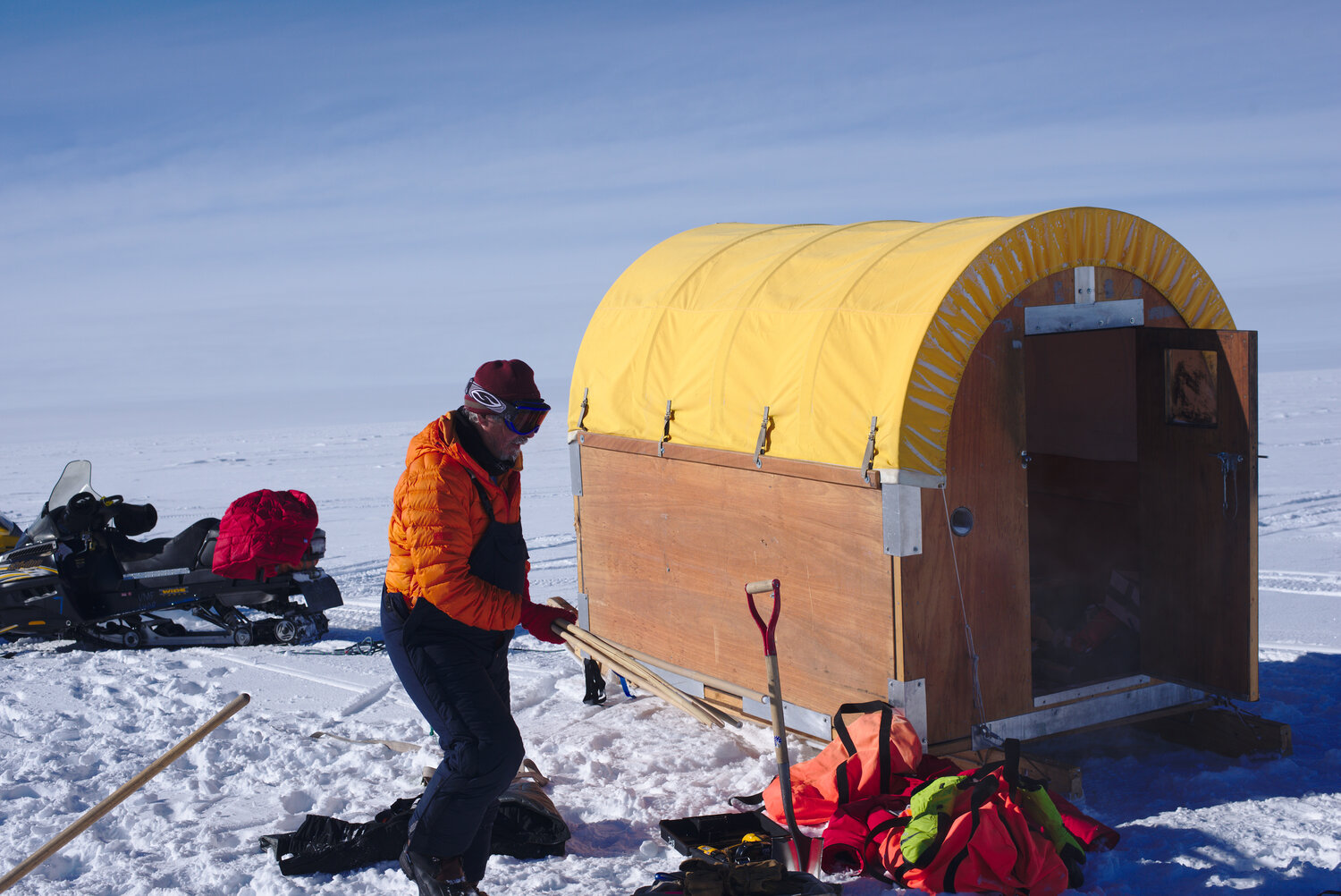
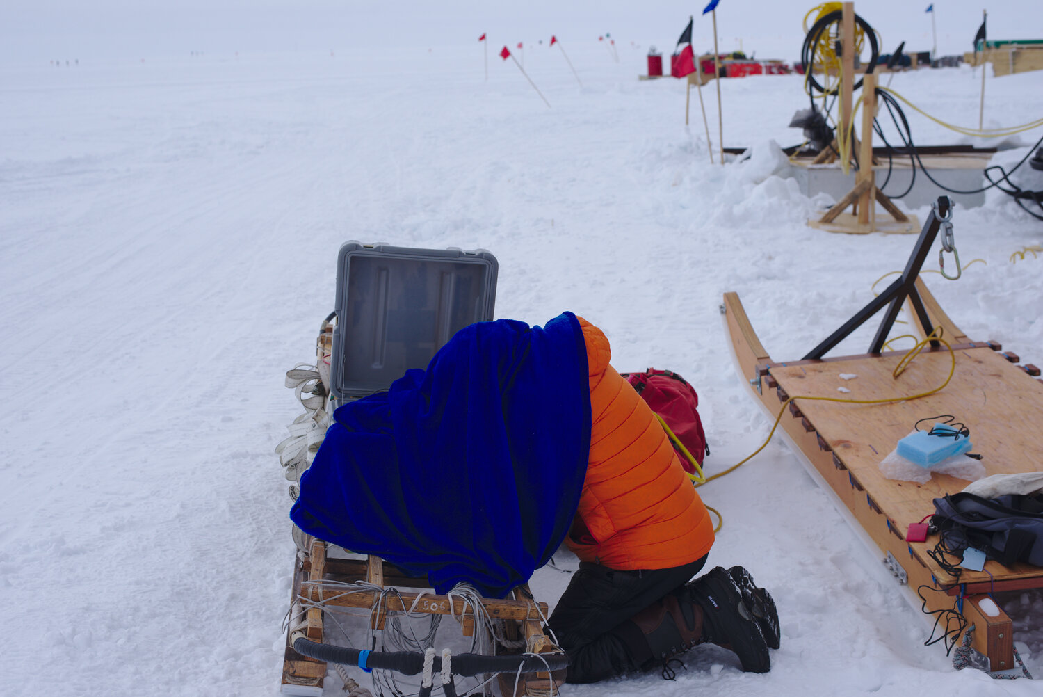
The rest of out time at the South Pole was uneventful. As in previous years, we snowmobiled around measuring how much our stakes had moved and then pulling them out. At this point we already had a solid map of ice flow in the area, so the success of our previous measurements meant that most of these additional data really just reduced our already low errors. We also did a bit of ice-penetrating radar work downstream of the Pole and across the flowline 37.5 km upstream. As in previous years I was operating a 200 MHz (VHF) radar, which could see layers in the top 100 m of ice, while Twit dragged his deep (HF; 7 MHz) radar to find the ice thickness and look at deeper layers. As always, the complexity and custom-built nature of the deep radar caused a bit of extra hassle, but Twit was able to get everything working and we collected all the data we had hoped for. In what felt like no time, we were due to head back north. We had some more good flight luck and caught a plane to McMurdo on our first shot.
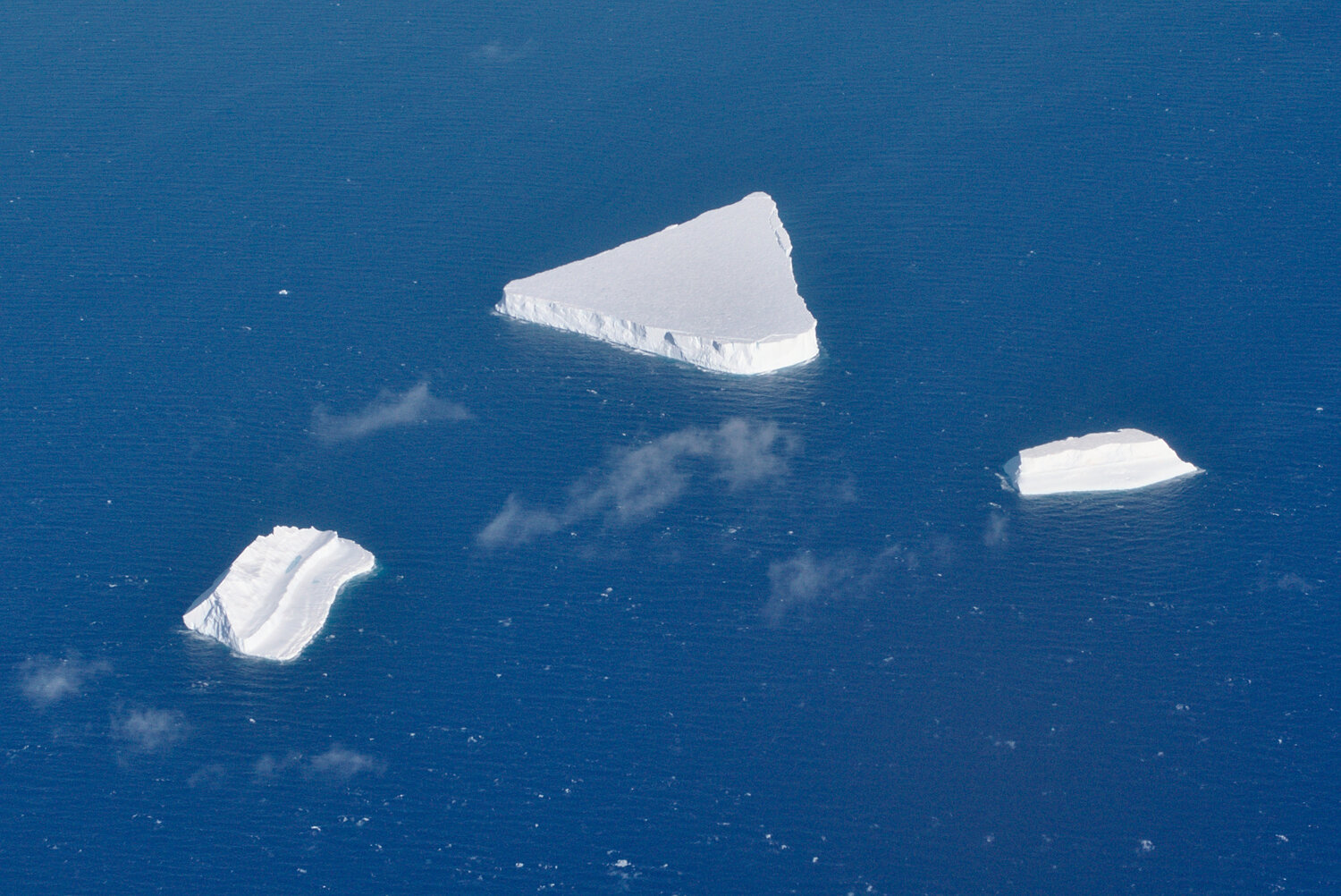
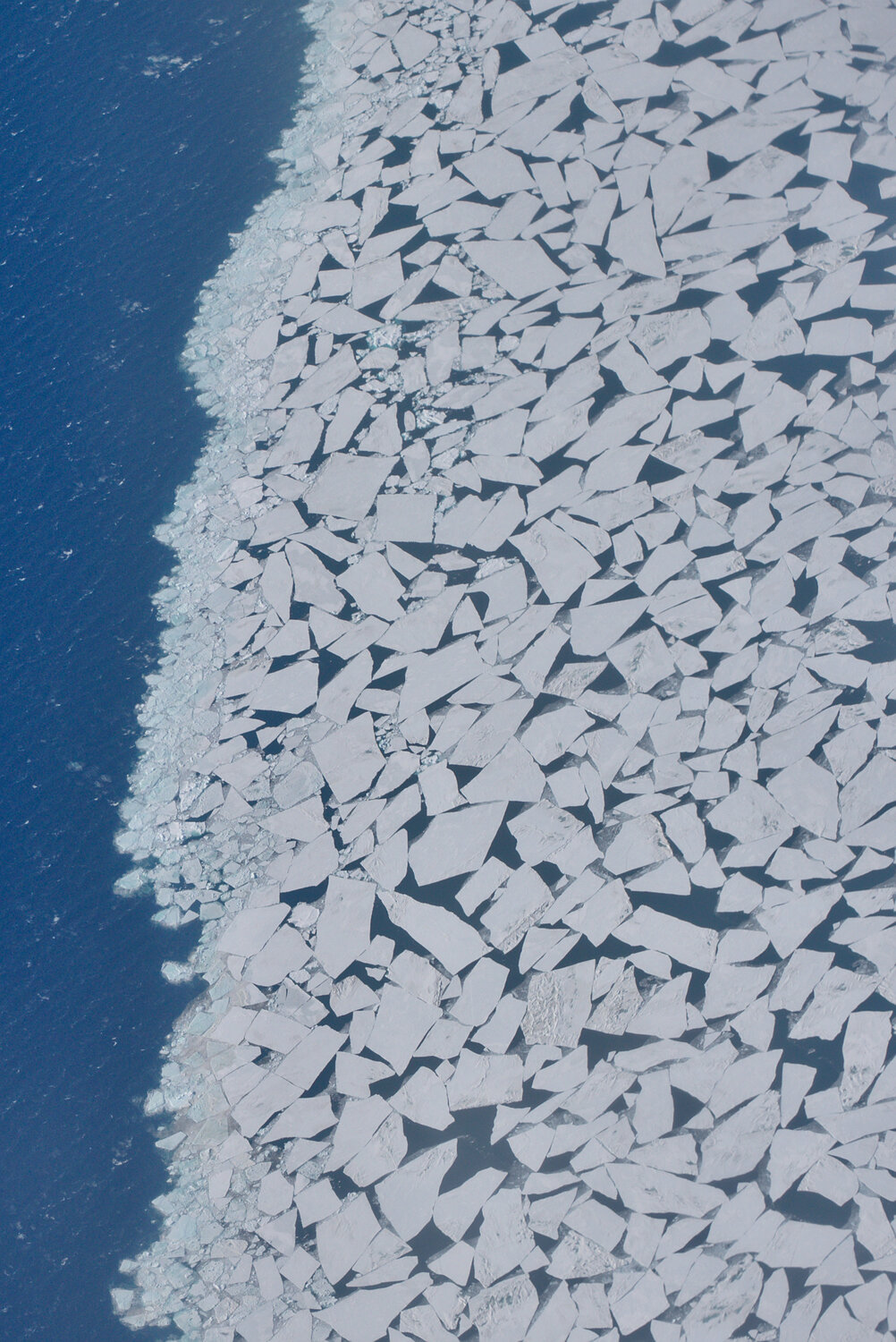
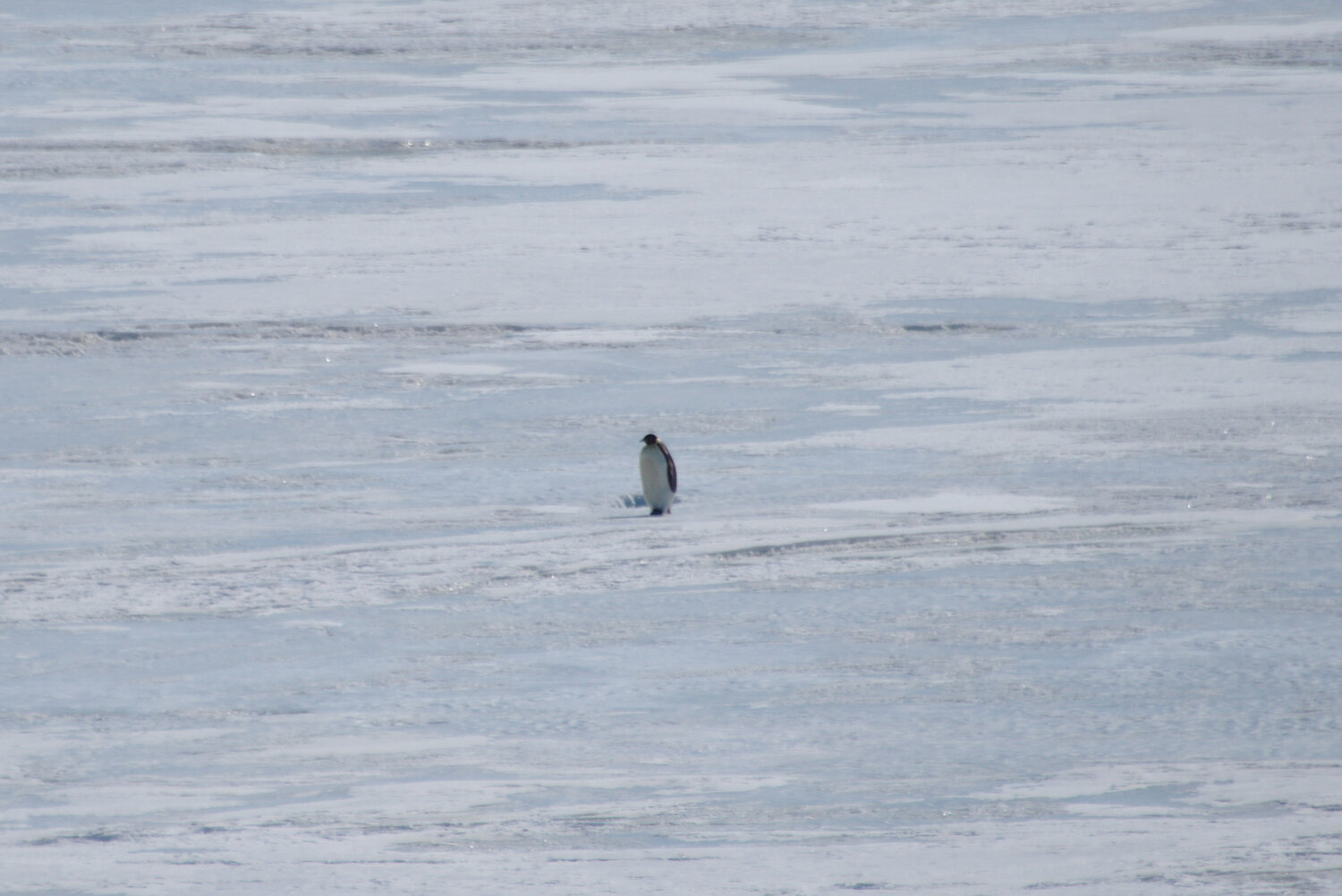
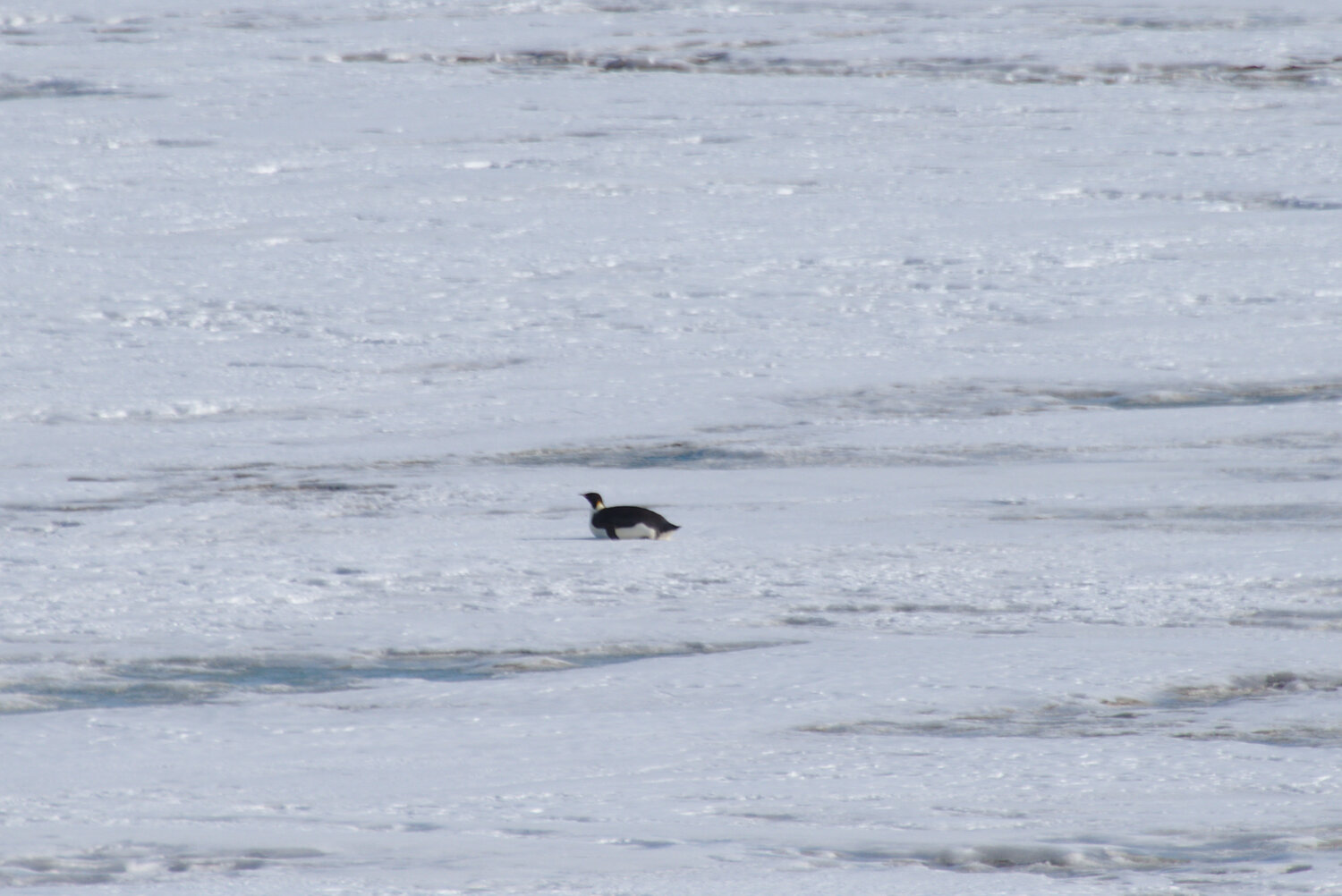
The most exciting part of getting back to McMurdo was the hope of seeing penguins. Penguins only show up near town when there is access to the ocean, and in the time that we had been at the pole a lot more cracks had opened in the sea ice. Our cargo had not made it on our flight with us, so there was little to do during our time in McMurdo, and looking for penguins was my main priority. This quickly paid off with a group of Adelies way out on the sea ice, far enough that a spotting scope was really needed to see them. Adelies were exciting, but I had seen some last year and I was really keen to see an emperor. Max and I decided to walk out to Hut Point, where Robert F. Scott’s Discovery Hut still sits nearly undisturbed, and peak around the corner for any penguins. As soon as we passed the hut a big black spot was visible out on the ice, and from the size we knew right away that it was an emperor. Over the next hour we watched it waddle, then increasingly belly slide, along the sea ice. It was making an occasional squawk, which was rather loud even hundreds of yards away. After it had passed us and was sliding away, we walked back to town and watched it through a spotting scope. I’m not sure what makes penguins quite so fascinating, other than how foreign they seem, but had it been closer I could have happily spent another few hours watching this one waddle along.
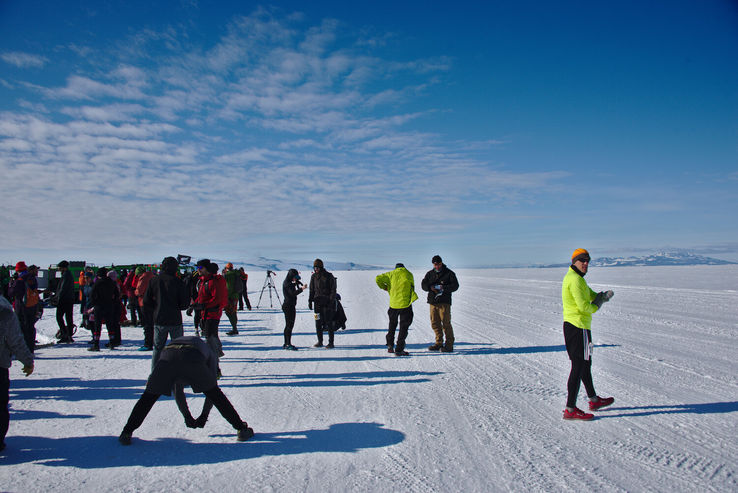
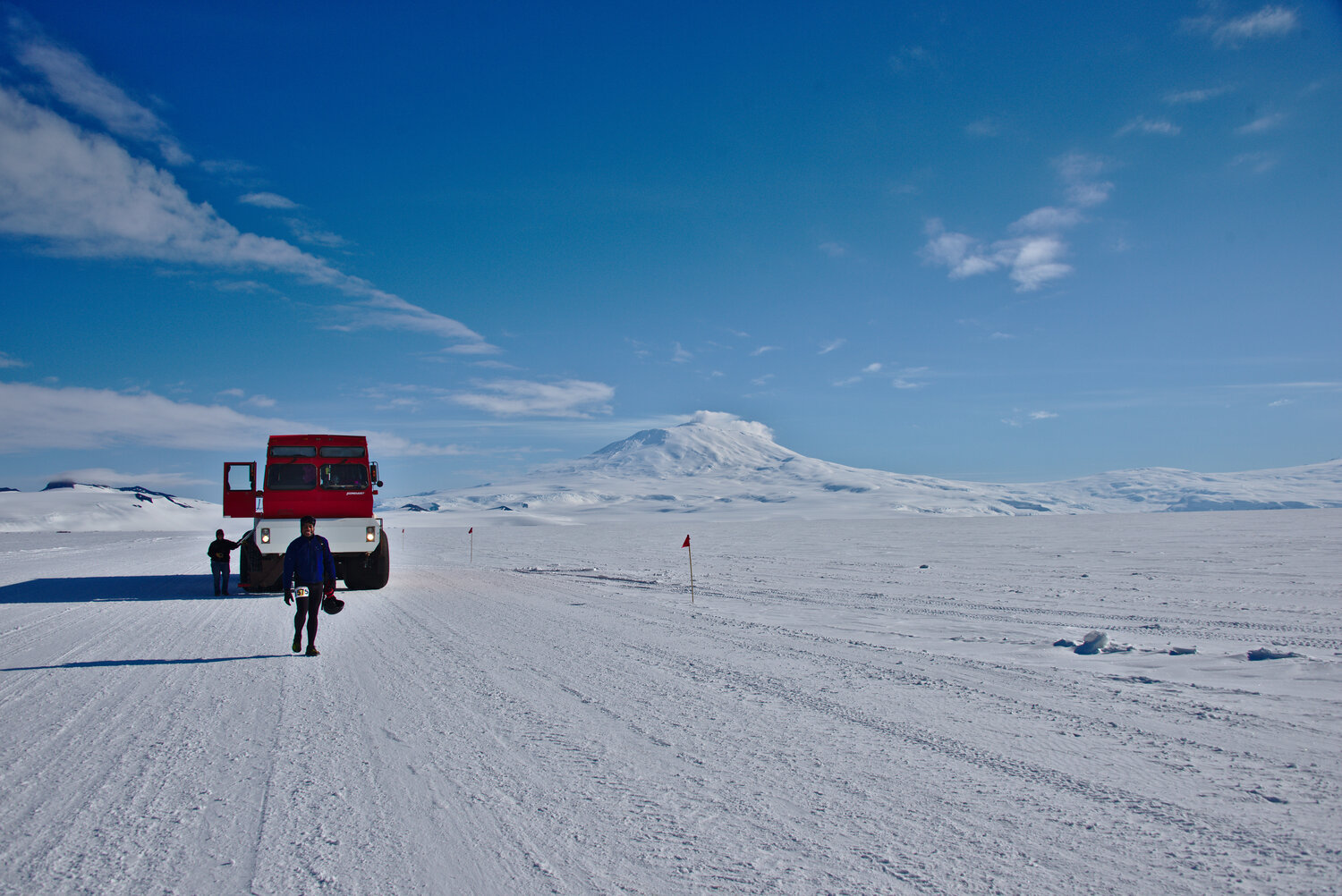
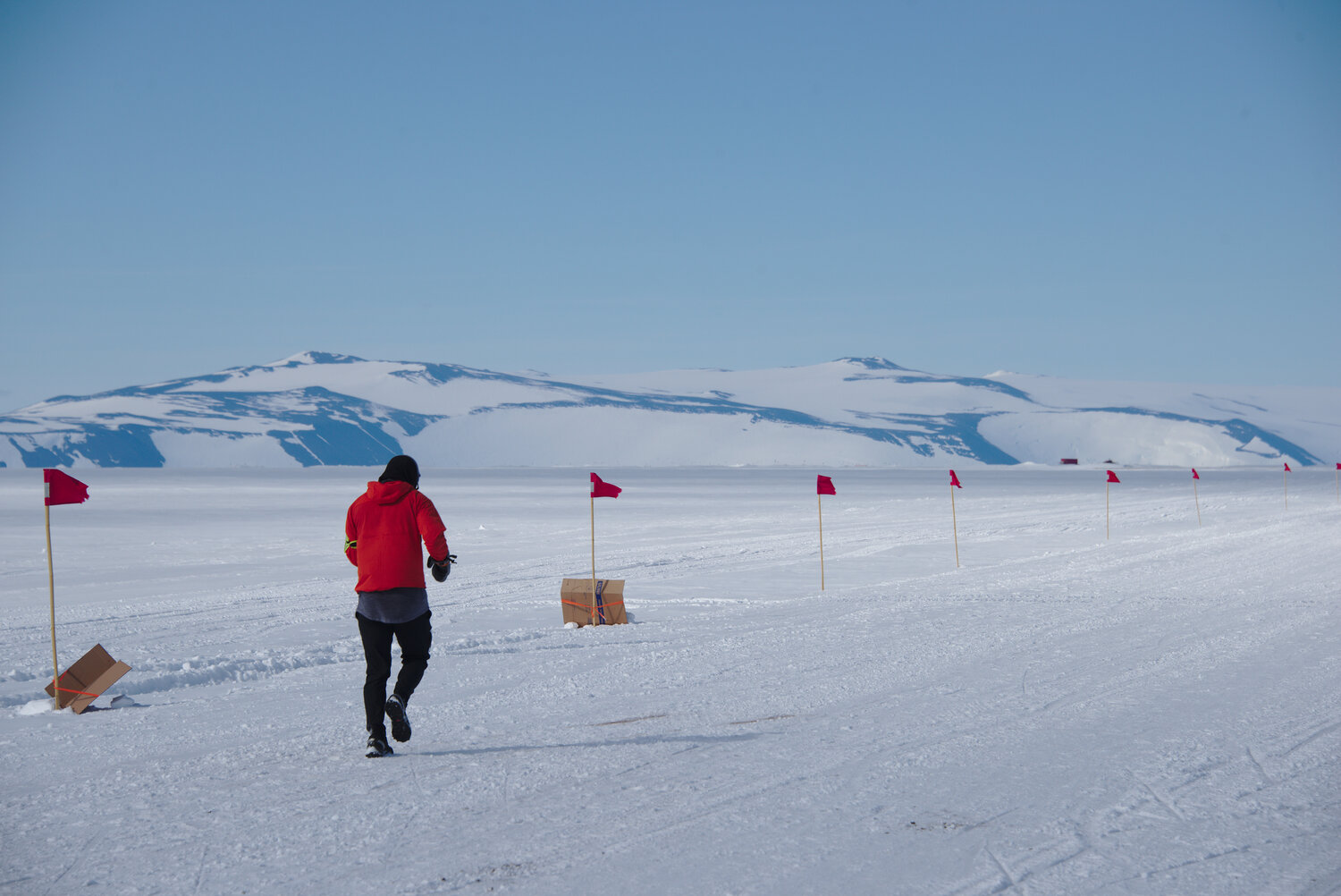
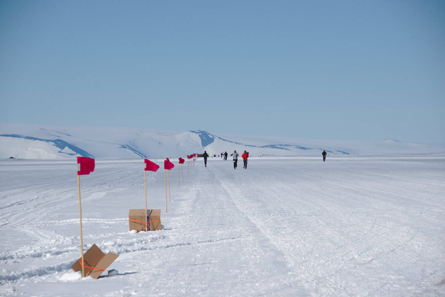
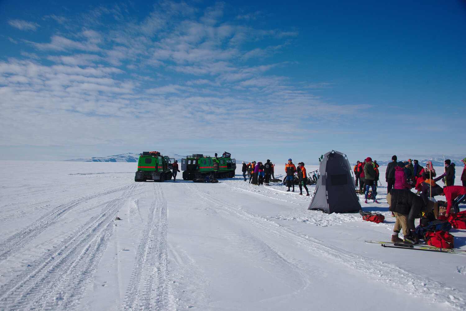
We had made it back to McMurdo in time for Max to attempt to defend his title at the McMurdo Marathon. People pay exorbitant sums to run other races in Antarctica, so I had been feeling like it would be a shame to miss this marathon. My one previous marathon had left me somewhat incapacitated for months, so I decided to run the half. Max had come prepared with sheet metal screws for traction, so we got our shoes ready on Saturday and on Sunday morning headed on Ivan the Terrabus to get to the start of the race at the edge of the ice shelf. The half marathon was an out-and-back on the road to the Phoenix runway, while the marathon did that twice. It was a beautiful day, and on the way out I was only running in a shirt and tights; I needed a windbreaker on the way back but even that wasn’t bad. There was an aid station at 3.5 miles and at the turnaround; aid was somewhat nontraditional, and as much as I liked the idea I found it a bit early for burgers and beer. I met my goal of finishing in under two hours, though as a result of the soft surface my legs felt more tired than I thought they should. The screws had worked great though, and I did not slip much nor did I have a screw in the sole of my foot. Max led the whole race, but in the last 100 m a Kiwi who had drafted off him for 25 miles sprinted ahead. Alas. On the bright side, we got and email from Twit’s brother that Max had made the national news in New Zealand, though only the crazy shirtless skier made it on their Instagram.

After a one-day delay before another scenic flight on an LC-130, we were on to the long series of commercial flights home.